We have locations with facilities and congregations that are currently in need of Pastors. Please consider praying and possibly going to one of these.
Each village. Every person.
Strategic Prayer
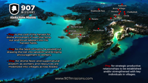
- Pray to the Lord of the Harvest for divine encounters that bring laborers into His harvest fields
- Pray for the Spirit of God to be poured out drawing the lost to salvation, and bringing encouragement to workers
- Pray for divine favor and supernatural wisdom as workers and resources are mobilized into villages across Alaska
- Pray for strategic, productive relationships to be established and strengthened with key individuals in villages
Alaska is a big place. Geographically it covers over twice the land area of Texas. Hundreds of communities are scattered across this massive region, and the majority of those towns and villages are not connected to the road system, meaning you simply can’t drive there. And for the people living in these villages, a trip to a major town or city means an expensive plane ticket. As a result, the villages of rural Alaska are very isolated. Basic goods and healthcare are much more difficult to get that on the road system. More than this, many villages don’t have a basic representation of the gospel. No church, no pastor, no missionary. No Christian community.
Reaching these villages is our central focus.
Our objective is for each village and every person to experience the fullness of life that comes from knowing Jesus Christ. The communities featured here are ones where we currently have opportunities to begin ministry. Please join us in praying for God’s working in these communities.
Open Church List
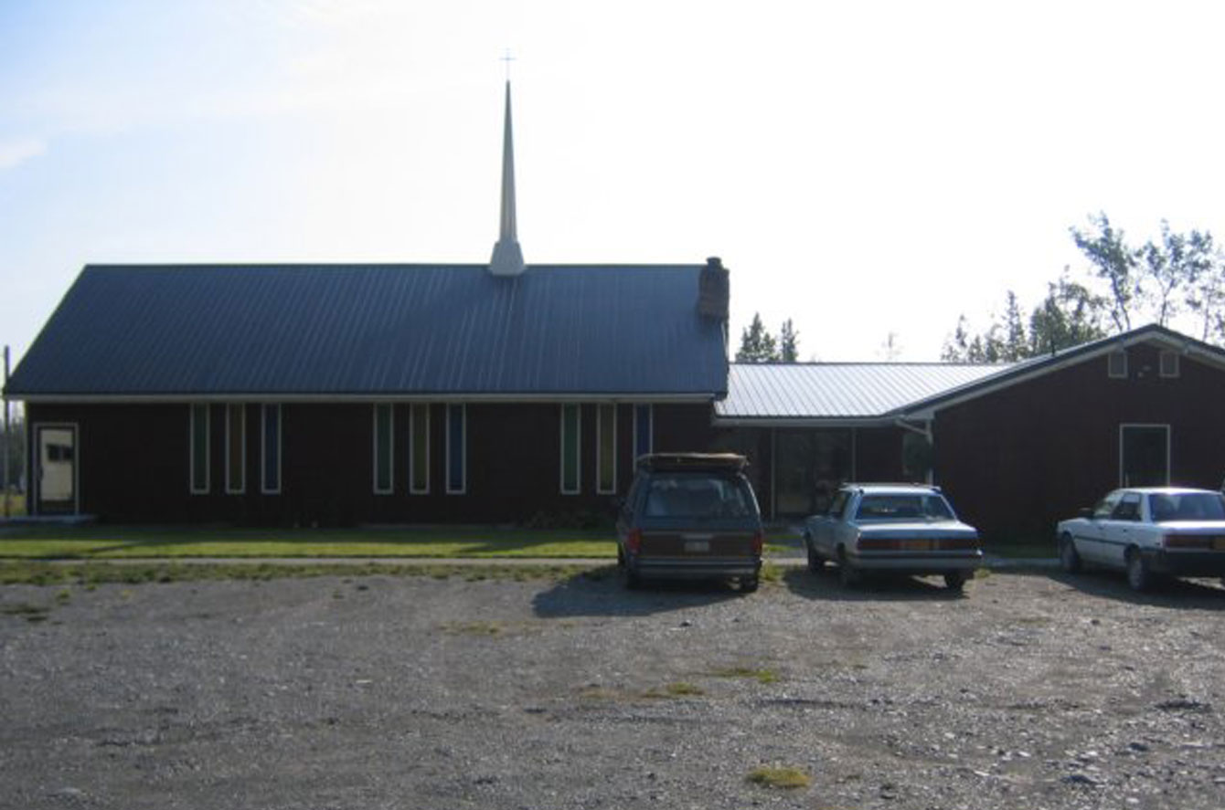
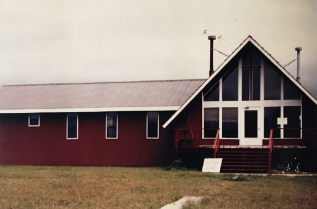
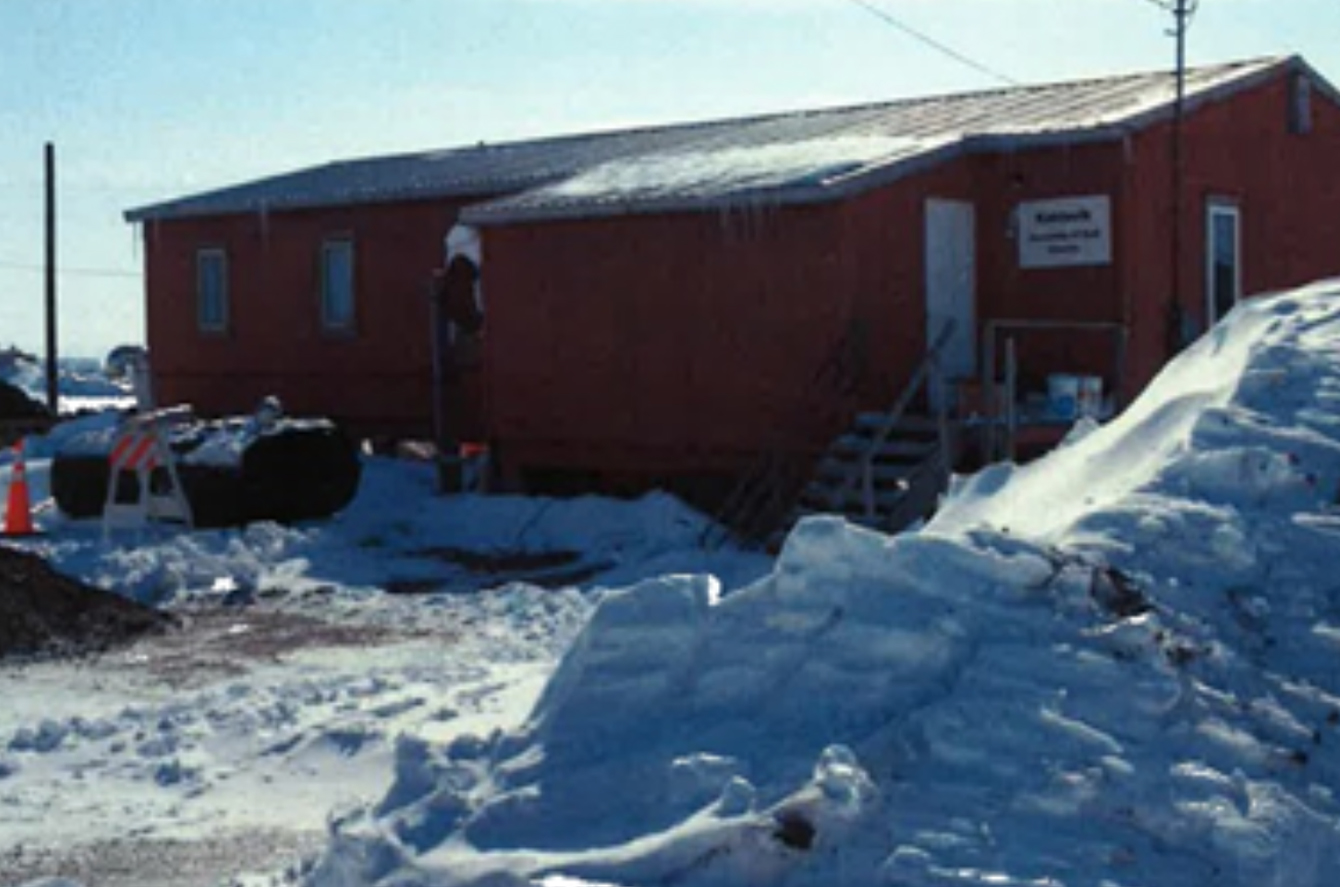
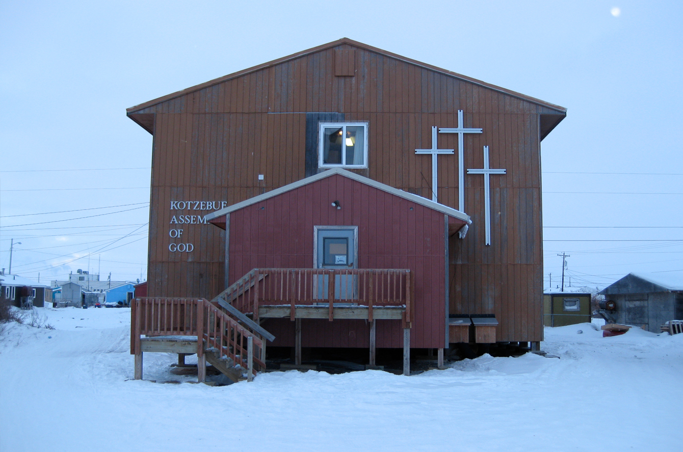
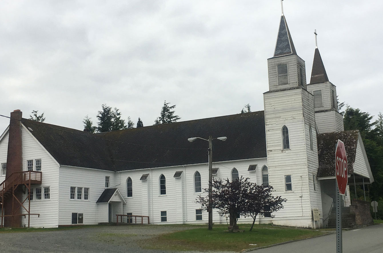
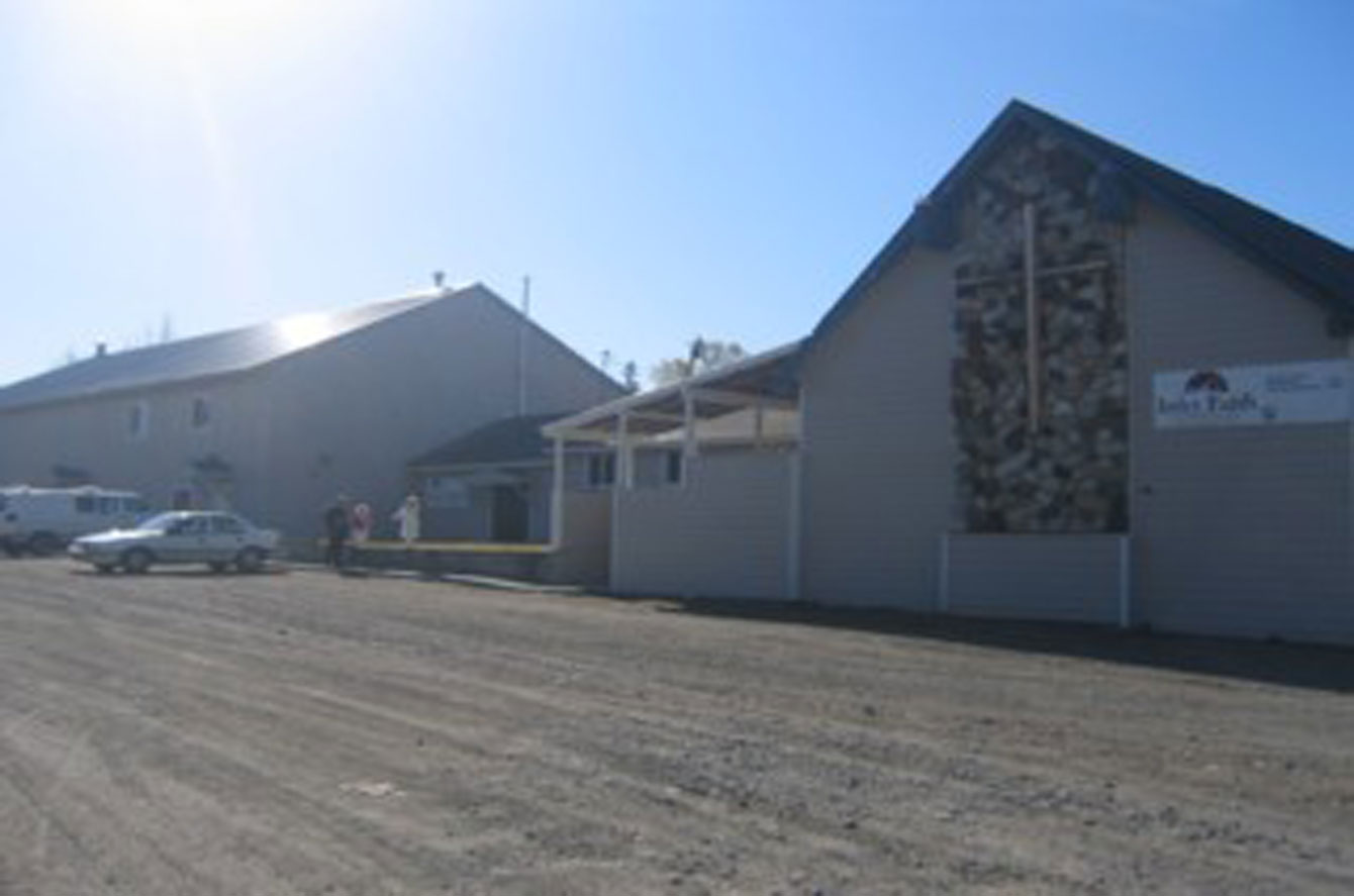
Nikiski is an oil and gas town, with onshore production facilities and offshore drilling platforms in Cook Inlet. The community’s more than 4,000 residents mostly work in and around this industry, and the discovery of oil on the peninsula in 1957 is what led Nikiski to grow from a small homesteading community to what it is today.
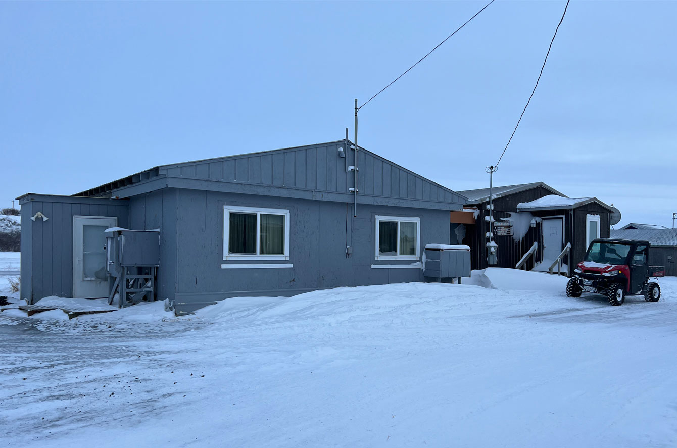
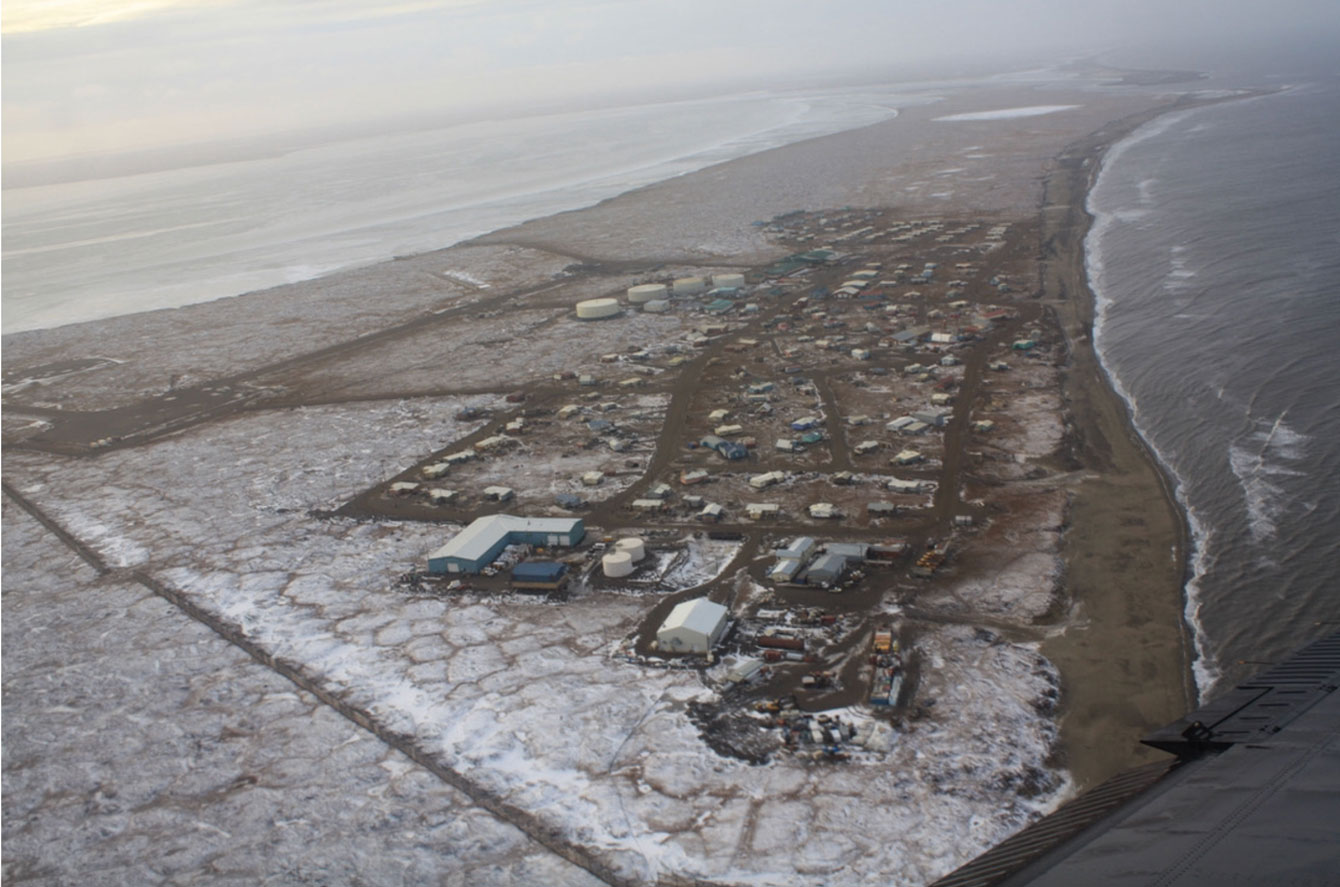
New Ministry Opportunities
Help us establish consistent ministry in each of these villages that we have been invited to.
Akiachak
Akiachak is a Yup’ik Eskimo village with a fishing and subsistence lifestyle. This community of 627 is a strong traditional community, and was the first city in Alaska to dissolve its city government in favor of the Native village government. Akiachak is located on the west bank of the Kuskokwim River 18 miles northeast of Bethel. The majority of year-round employment in Akiachak is in education and other public services. The Yupiit School District headquarters are located in the community.
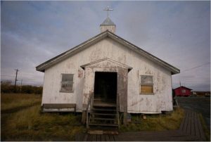
Anaktuvuk Pass
Anaktuvuk is the English way of spelling “annaqtugvik”, place of caribou droppings in Inupiaq, the language of the Inupiat. Anaktuvuk Pass is slightly north of the Brooks Range on the divide between the Anaktuvuk River and the John River. The 250 residents of Anaktuvuk Pass are nearly all Nunamiut, the mountain Eskimos who traditionally migrated on a seasonal path between the Brooks Range and the Arctic coast. These nomadic peoples had a diet and a lifestyle that revolved around the migrating herds of caribou on the North Slope.
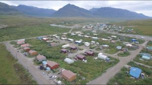
Arctic Village
Until the 1950s, the Neets’aii Gwichin (“residents of the north side”) lived a highly nomadic life. They traditionally used seasonal camps and semi-permanent settlements. There is archaeological evidence that the Arctic Village area was populated as early as 4,500 BC. This village is located on the east fork of the Chandalar River, 100 miles north of Fort Yukon and 290 miles north of Fairbanks.
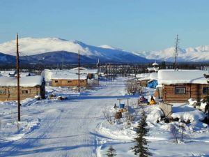
Beaver
Gold discoveries in the Chandalar region in 1907 led to the founding of Beaver. It was established as the Yukon River terminus for miners heading north to the gold fields. The population of Beaver is predominantly mixed Gwitchin/Koyukuk Athabascan and Inupiat Eskimo. Subsistence is an important source of food. It is located on the north bank of the Yukon River, approximately 60 air miles southwest of Fort Yukon and 110 miles north of Fairbanks.
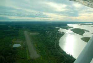
Chalkyitsik
Chalkyitsik means “fish hooking place” and has traditionally been an important seasonal fishing site for the Gwich’in. Archaeological excavations in the area reveal use and occupancy of the region as early as 10,000 BC. Chalkyitsik is a traditional Gwich’in Athabascan village located on the Black River about 50 miles east of Fort Yukon.
Chevak
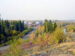
Chevak (Cevʼaq , which means “cut-through channel”) has a tri-language system; English, Cup’ik, and a mixture of the two languages. The people in Chevak speak a dialect of Central Yup’ik, Cup’ik (pr. Chew-pick), and identify themselves as Cup’ik people rather than Yup’ik. Chevak is located on the north bank of the Niglikfak River, 17 miles east of Hooper Bay.
Circle
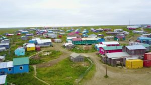
Circle (also known as Circle City) was established in 1893 as a supply point for goods shipped up the Yukon River and then overland to the gold mining camps. Early miners believed the town was located on the Arctic Circle, and named it Circle. The population of Circle is predominantly Athabascan, but there are several non-Native families. Circle is located on the south bank of the Yukon River at the edge of the Yukon Flats, 160 miles northeast of Fairbanks.

Kaktovik
Kaktovik meaning “Seining Place” is a traditional fishing place that has a large pond of good fresh water on high ground. It had no permanent settlers until people from other parts of Barter Island and northern Alaska moved to the area in the 1950s. The village has maintained its Inupiat Eskimo traditions, and is located on the north shore of Barter Island, between the Okpilak and Jago Rivers on the Beaufort Sea coast.
Newtok – Metarvik
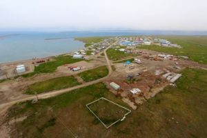
Newtok is a traditional Central Alaskan Yup’ik village. Due to severe erosion, the village has started to relocate to a new site called Metarvik on Nelson Island. The people of Newtok share a heritage with Nelson Island communities; their ancestors have lived on the Bering Sea coast for at least 2,000 years. Located on the Ninglick River north of Nelson Island in the Yukon-Kuskokwim Delta Region, 94 miles northwest of Bethel.
Nulato
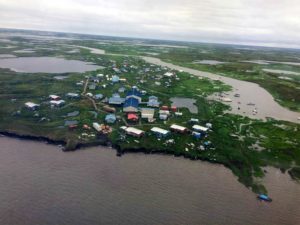
The Koyukon Athabascans traditionally had spring, summer, fall, and winter camps and moved as the wild game migrated. Nulato was the trading site between Athabascans and Inupiat Eskimos from the Kobuk area. Nulato residents are predominantly Koyukon Athabascans. Located on the west bank of the Yukon River, 35 miles west of Galena and 310 air miles west of Fairbanks.
Nunam Iqua
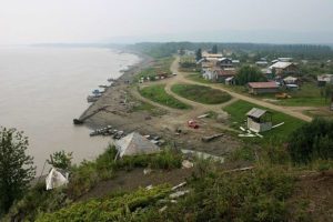
Nunam Iqua is a Central Yup’ik name meaning “the end of the tundra”. Historically, Nunam was the location of summer fish camps, due to its location near the Black River. A man named Sheldon opened a fish saltery there in the 1930s, and the city was incorporated under the name Sheldon Point in 1974. The name was later changed to Nunam Iqua in 1999. Located on a south fork of the Yukon River, about 9 miles south of Alakanuk and 18 miles southwest of Emmonak.
Rampart
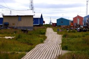
Rampart is located on the south bank of the Yukon River, approximately 75 miles upstream from its junction with the Tanana River, 100 miles northwest of Fairbanks.The population was 24 at the 2010 census, down from 45 in 2000, and is predominantly Koyukon Athabascan. The name Rampart refers to the range of low mountains through which the Yukon passes in this region and which forms the “ramparts” of the Upper Yukon. Rampart City was established in 1897 as a river supply point for gold placer mines in the hills and creek valleys south of the Yukon.
Stony River
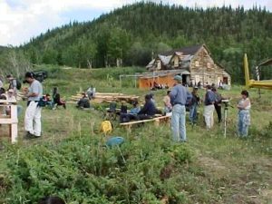
Also known as Moose Village and Moose Creek, Stony River began as a trading post and riverboat landing to supply mining operations to the north. Native inhabitants are of mixed Athabaskan and Yup’ik ancestry. The village is the modern contact point between Yu’pik Eskimo and three distinct Athabaskan peoples: Deg Hit’an, Dena’ina, and Upper Kuskokwim. Stony River is located on the north bank of the Kuskokwim River, 100 miles east of Aniak.
Tanana
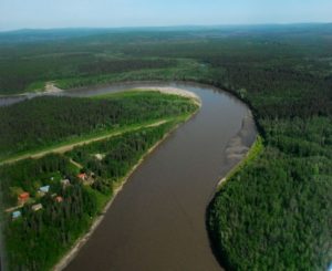
Tanana was a traditional trading settlement for Koyukon and Tanana Athabascans long before European contact. In 1880, Harper’s Station was established 13 miles downriver. In 1881, Church of England missionaries from Canada built a mission 8 miles downriver. Between 1887 and 1900, an elaborate school and hospital complex, the St. James Mission, was constructed. Tanana is located 130 air miles west of Fairbanks.
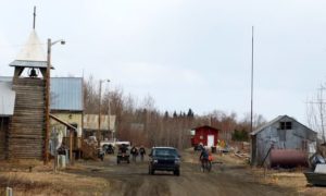
Venetie
Known to early explorers as Old Robert’s Village or Chandalar Village, Venetie was founded in 1895 by a man named Old Robert. In 1943 the Venetie Indian Reservation was established, with the combined efforts of residents from Venetie, Arctic Village, Christian Village, and Robert’s Fish Camp. Venetie is comprised largely of descendants of the Neets’ai Gwich’in and, to a lesser extent, the Gwichyaa and Dihaii Gwich’in. It is located on the north side of the Chandalar River, 45 miles northwest of Fort Yukon.
